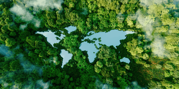
Advanced technology for our
changing planet, infrastructure, & health
We develop impactful end-to-end geospatial data-processing pipelines and software solutions for clients who want to improve our planet.

Our Projects
Our Tooling
Our Research


->
Bring your own
satellitedataanalyticsdronessensorsinstrumentssatellite
Bring your own
Cloud-native geospatial processing suite.
FilmDrop is a suite of open source tools for ingesting, archiving, processing, analyzing and distributing geospatial data in the cloud.


GroundWork ->
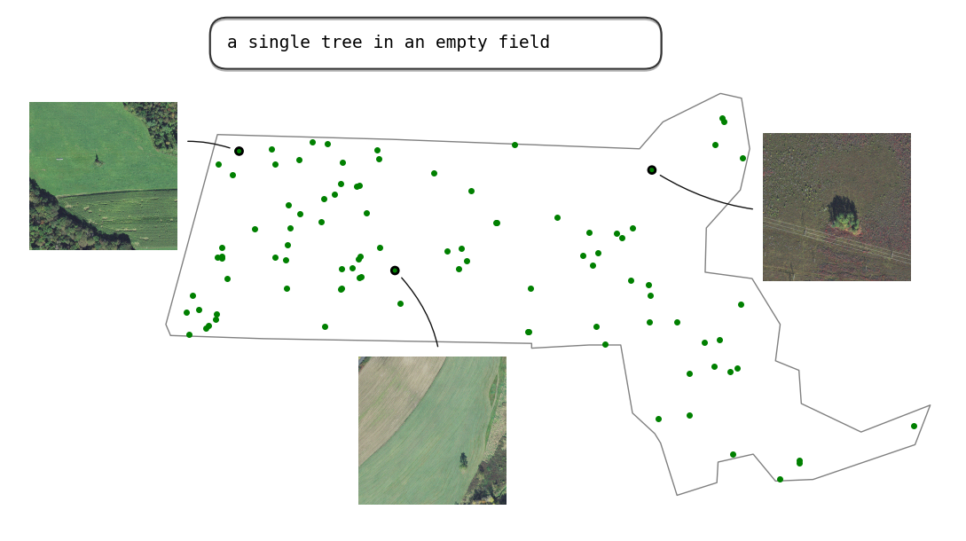
An annotation tool designed for geospatial data, including satellite, aerial, and drone imagery. GroundWork supports object detection, chip classification and semantic segmentation projects, ideal for creating training datasets for machine learning projects.
Raster Vision is an open source library and framework that bridges the divide between the world of GIS and deep learning-based computer vision for satellite and aerial imagery.
Earth Search ->
Earth Search offers a public search and discovery API for Earth on AWS, Amazon‘s registry of open geospatial datasets. Initial datasets include the entire USGS Landsat Collection 2 and ESA Sentinel-2 catalogs, Sentinel-1, Copernicus DEM, and NAIP with more datasets being added regularly.
Powered by FilmDrop
See more of our tooling ->
-
FilmDrop Edge: On-Orbit->
As new EO instruments with even greater spatial and spectral resolution come online, satellite providers are faced with transmitting very large amounts of data. FilmDrop Edge On-Orbit addresses this problem by using on-satellite processing to reduce the volume of data that must be downlinked from the satellite.
-
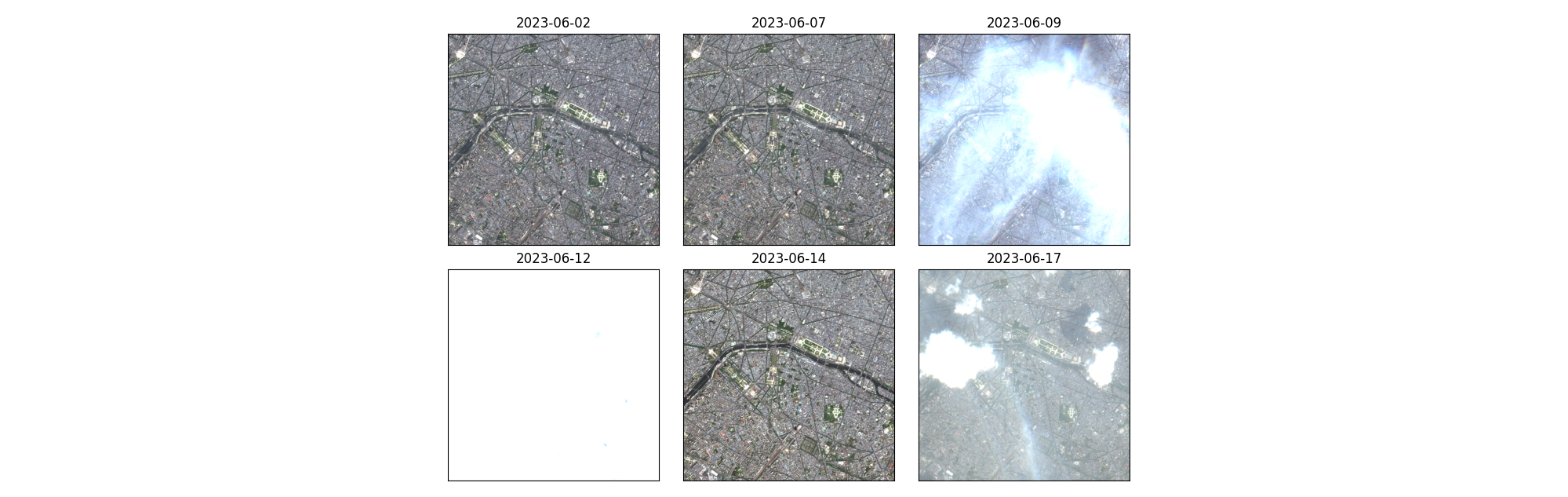
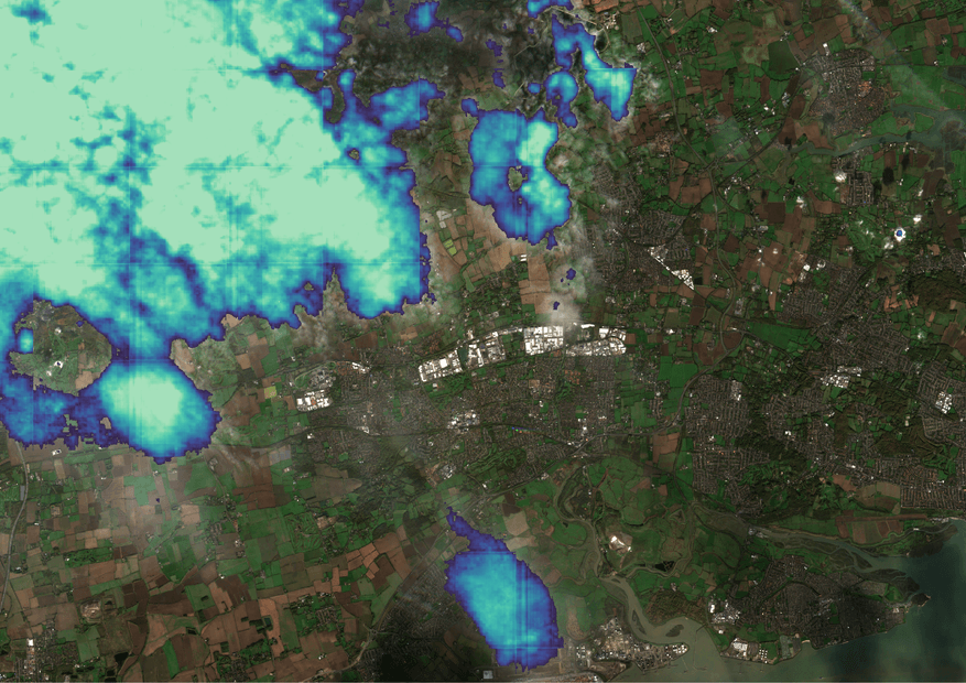
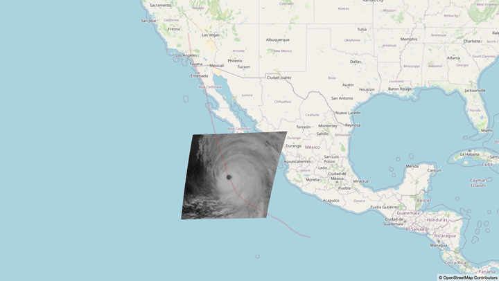
Visualizing Natural Disasters with GOES Mesoscale Imagery->
In an effort to aid in visualizing natural disasters, we put together a small data pipeline to display GOES mesoscale data of the recent Hurricane Hilary and display it on a web map along with a simple vector layer.


Explore our research lab ->
Build technology that matters
We’re hiring the best people in cloud-native geospatial and Earth Observation software engineering, machine learning, project management, data analysis, and UX design who are keen on making a difference.
See career opportunities ->


You have a vision for a
better planet
We have the people who will breathe life into your ideas.
Element 84 is a woman-owned small business that works with public, private, and non-profit sector clients to develop geospatial data processing pipelines and build software.