A peek into our research lab
All of our research projects start with one question: How can we advance the state of the art in geospatial software engineering and data processing… while simultaneously improving our world?
-
FilmDrop Edge: On-Orbit->
As new EO instruments with even greater spatial and spectral resolution come online, satellite providers are faced with transmitting very large amounts of data. FilmDrop Edge On-Orbit addresses this problem by using on-satellite processing to reduce the volume of data that must be downlinked from the satellite.
-
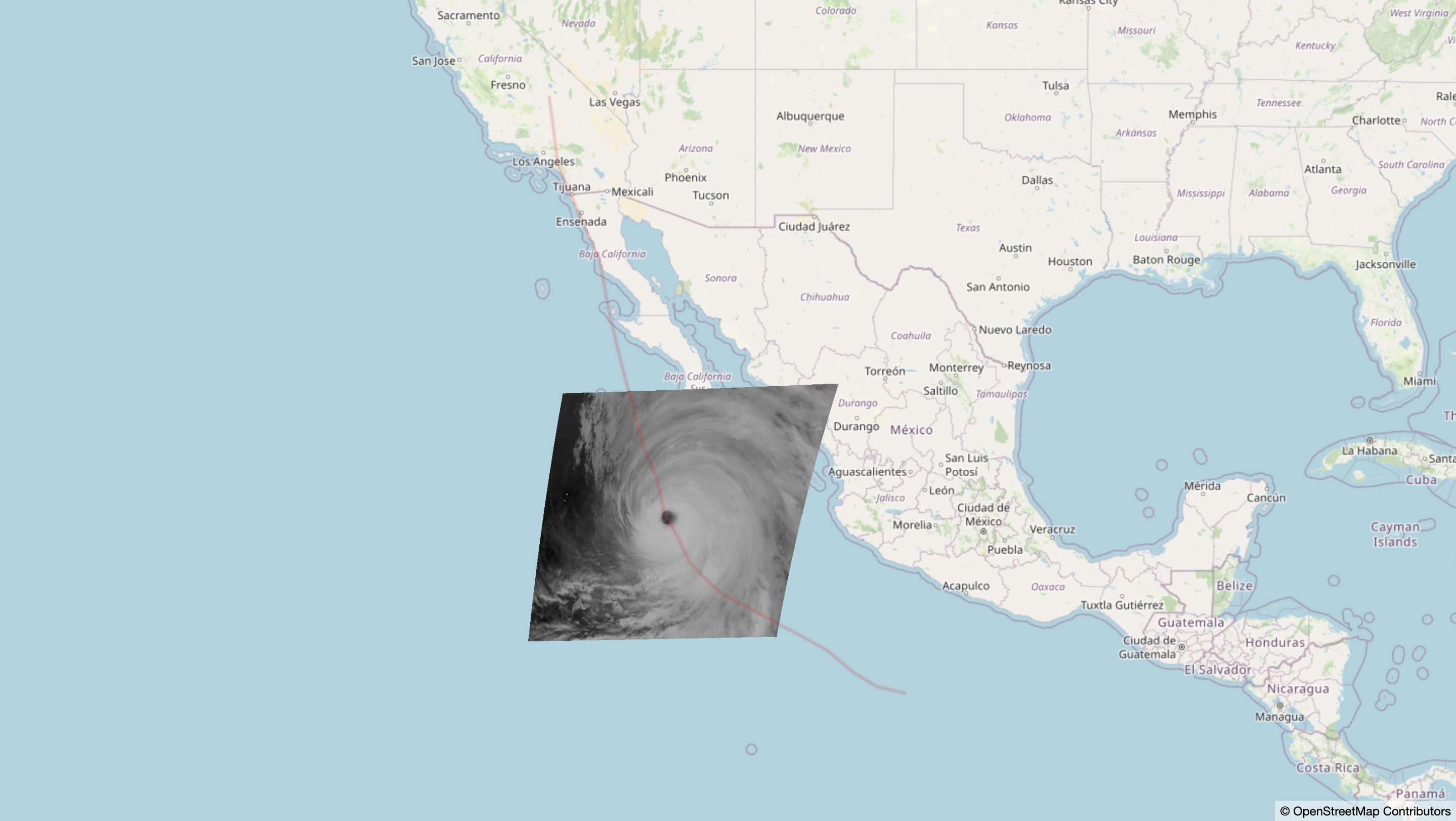
Visualizing Natural Disasters with GOES Mesoscale Imagery->
In an effort to aid in visualizing natural disasters, we put together a small data pipeline to display GOES mesoscale data of the recent Hurricane Hilary and display it on a web map along with a simple vector layer.
-
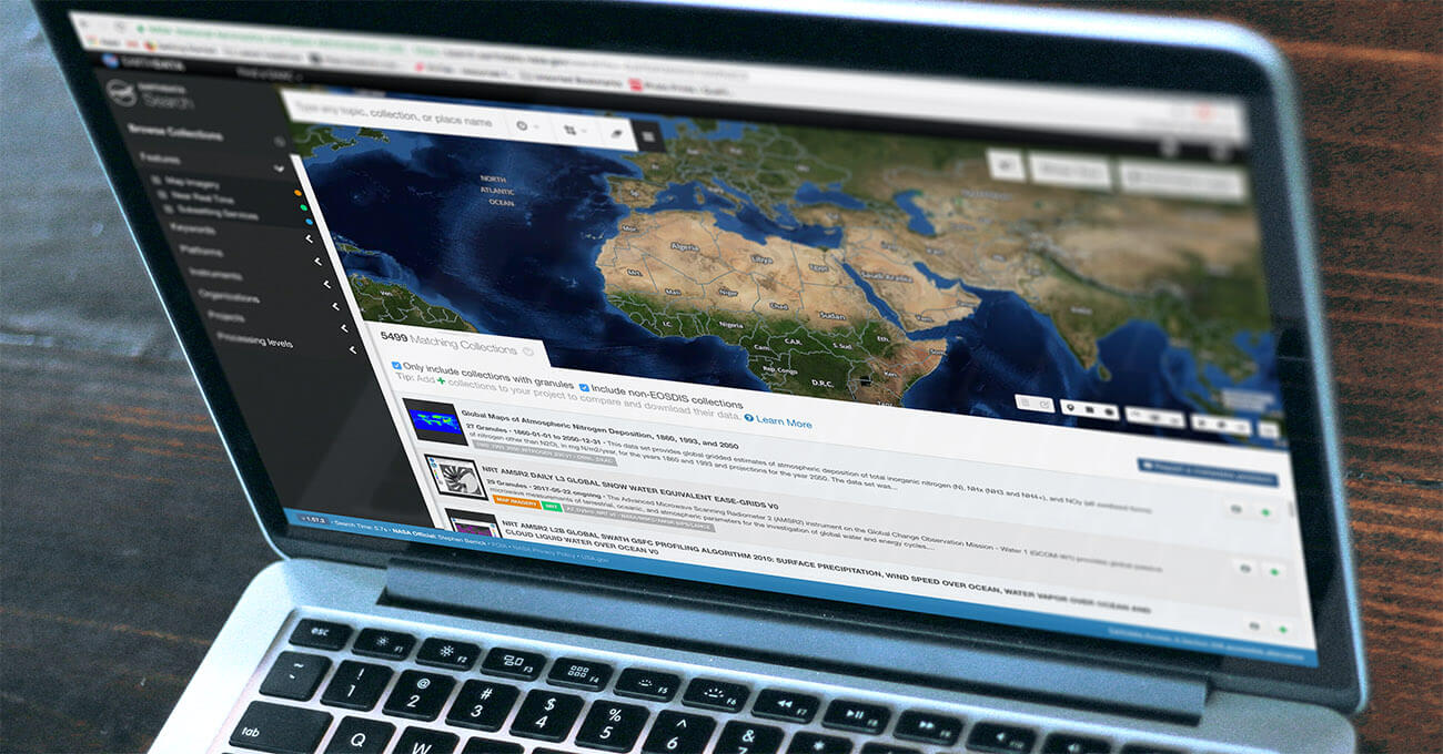
Making Earth Science Easier with Earthdata Search->
Earthdata Search is an open source tool to helps field scientists, researchers, engineers, and curious citizens discover, search and access over 400 million records of remote sensing data.
-
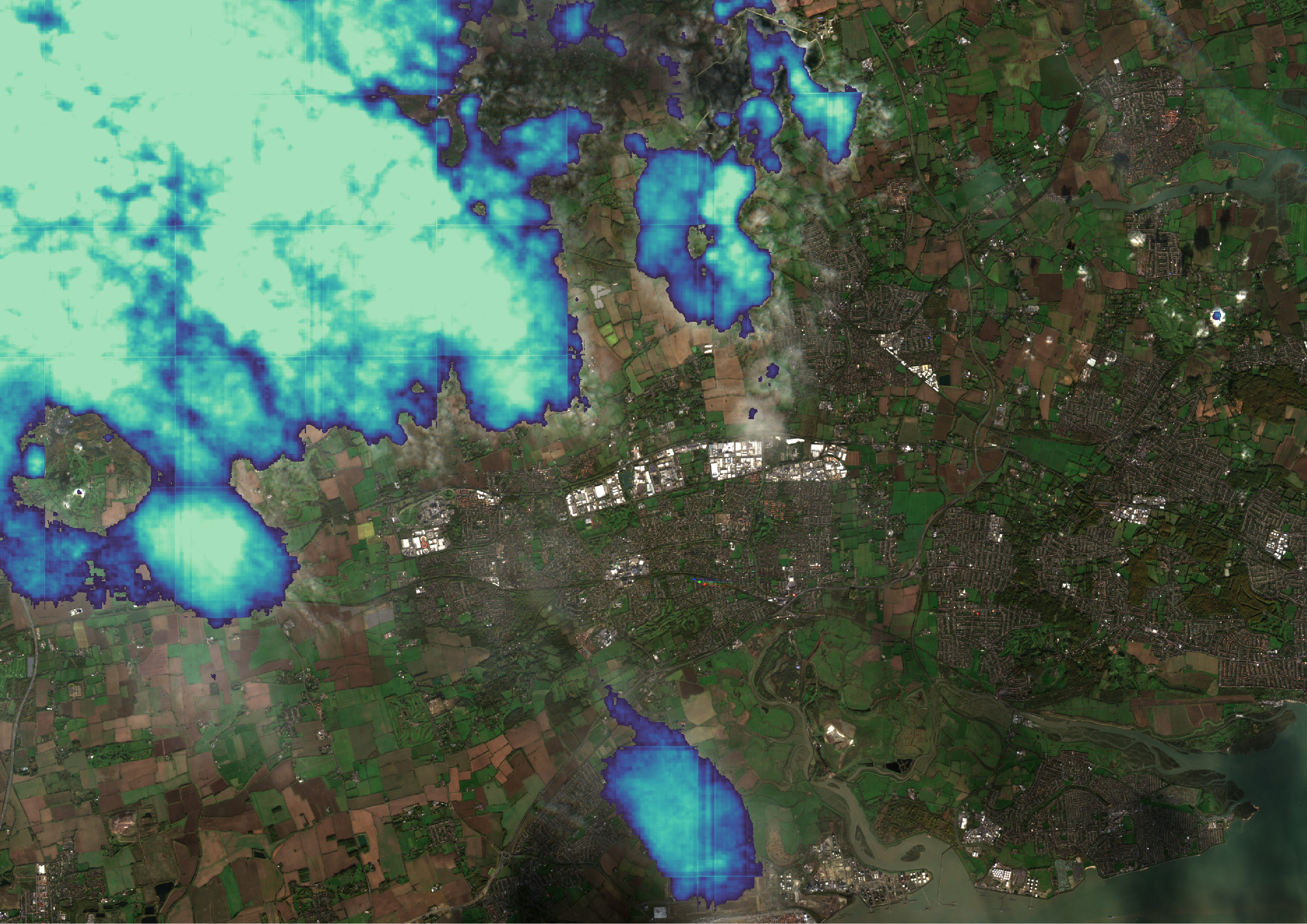
Hyperspectral satellite imagery for Earth Observation->
We outline our reusable, open-source data processing pipeline for serving and analyzing hyperspectral imagery.
-
Building Scalable, Low-Maintenance Websites Using AWS->
Most content management systems rely on a database to store content and changes to content. When a visitor loads a page, code fetches the content from the database and displays it to the user. These systems can be prone to malicious attacks via SQL injection and other techniques that target database-backed sites. They can also…
-
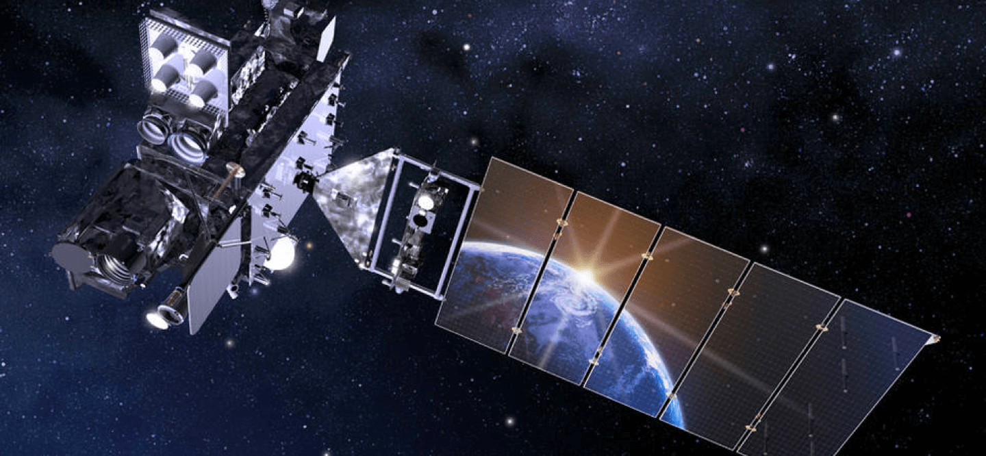
Streaming GOES-16 Data With AWS Managed Services->
GOES-16 (formerly known as GOES-R) is a joint NASA-NOAA geostationary satellite used for for monitoring smoke, flooding impacts, burn scars, volcanic ash, and weather over the Americas. As important as this data is, finding and using it effectively can be difficult and often requires significant investment on the part of the end user. With experience…
-
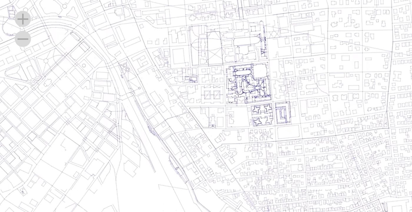
Analytics at scale on OpenStreetMap->
What if you wanted to query all of OSM for all time (for every change ever)? The data exists—OpenStreetMap publishes data on the entire history of every edit made in OpenStreetMap, and there is even a version of that data published weekly by Amazon Web Services (AWS). However, handling that amount of data and transforming…
Let’s collaborate
Remote sensing? Big data? A project so cool, you just had to tell us? Get in touch, we’d love to hear about it.