Cloud-native geospatial processing suite
FilmDrop is a suite of open source tools for ingesting, archiving, processing, analyzing and distributing geospatial data in the cloud.
The Stack
Analytics
Notebook-based interface for programmatic access to FilmDrop Core datalakes to create custom processing and analysis workflows
ESRI
Support for publishing ArcGIS Image Services
Core
Ingest, archive, management, and discovery of remote sensing data
Create custom data products and derived analysis data
Create custom data lakes and processing pipelines with support for STAC, NetCDF, HDFx, COGs, Zarr, and more
Metadata generation and management
Cloud Providers (AWS, Azure, GCP)
On premises with Kubernetes
DR/Field/Snowball
Ready to Get Started?
Core Features
Ingest to Analysis (Core)
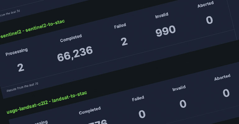
FilmDrop can help you manage all aspects of your data pipeline from ground station and S3 ingest through processing and analysis.
STAC Compliant (Core)
All archived metadata in FilmDrop is stored as SpatioTemporal Asset Catalog (STAC) assets for broad interoperability with tooling and industry partners.

Choose your own Adventure (Core/DR)
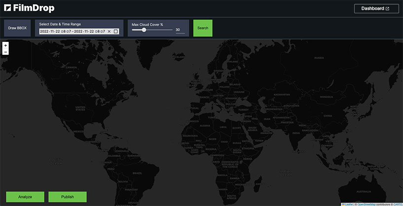
FilmDrop is flexible and can support deployment to the AWS Cloud, Kubernetes, and even field-deployable packages like the Snowball, Snowcone, and Snowball Edge.
Plays Well with Others (Core)
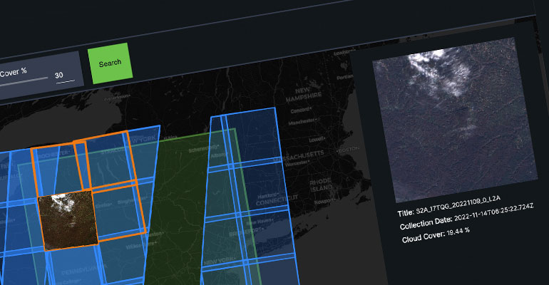
Generate ephemeral archives of convenience (AoC) and custom pipelines to make your data more useable. Support for STAC, NetCDF, HDFx, COGs, Zarr, and more.
Analysis Ready
FilmDrop Analytics supports a notebook-based interface for programmatic access to FilmDrop Core datalakes. Depending on end-user needs, customized dashboards and visualizations for data analysis can also be built.
Demo & Talks
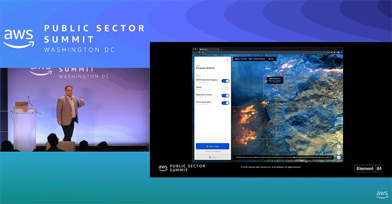
Element 84 Film Drop Demo
Explore FilmDrop
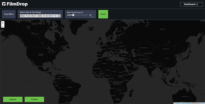
See our processing pipelines in action and explore the data through a map and notebook interface.
Earth Search
Powered by
Earth Search offers a public search and discovery API for Earth on AWS, Amazon‘s registry of open geospatial datasets. Initial datasets include the entire USGS Landsat Collection 2 and ESA Sentinel-2 catalogs, Sentinel-1, Copernicus DEM, and NAIP with more datasets being added regularly.
